
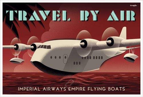
Southampton to Cape Town in 1937 - Using ArcGIS Online
This lesson has existed in various forms for the last couple of years. The basis of the learning experience is that students design the route that a plane would have taken in 1937 to travel from Southampton to Cape Town.
This version of the lesson uses ArcGIS Online as the main digital tool for designing and then documenting the route.
Before students start this lesson using ArcGIS Online they should:
- have had an ArcGIS Online account created for them, they should have accessed it and understand how to open/save content within it.
- experienced the use of 'Map Notes' as a way of annotating a map.
- used the measuring tool.
- experimented with changing the base map.
This document 'An Introduction to ArcGIS Online' will take the students through all of these prerequisite steps.
Lesson Sequence
- Students use ArcGIS Online (mainly the measuring tool and Map Notes) to design their route using this map as their starting point.
- Students produce a route card for the journey - I would suggest the use of Google Sheets and some basis spreadsheet skill development [Record basic data, use basic formula].
- Students use the route they have designed in ArcGiS Online to produce a Story Map [Share > Create a Web App > Build a Story Map > Story Map journal].
- The '1922 World Map (Web Mercator)' Tile Layer by National Geographic is included in the starting map so that students can explore the pre-decolonization names and borders of countries.
- The student submits their Story Map (and route card) for assessment. An MYP Individuals and Societies assessment rubric can be found on geogalot.com - produced by Ellena Mart.