
Gridlines in Google Earth - lesson updated
With the announcement that gridlines are available in Google Earth for Chrome it would seem time to update a rather old geographyalltheway.com lesson to make use of this new feature.
"You can turn gridlines on and off in the Map Style panel, and they’ll appear in either decimal degrees or degrees, minutes and seconds, depending on the format you’ve chosen in Settings. Gridlines are available on Google Earth for Chrome, iOS and Android." Source
As Google Earth for Chrome evolves I will be adding new/redeveloped resources to geographyalltheway.com.
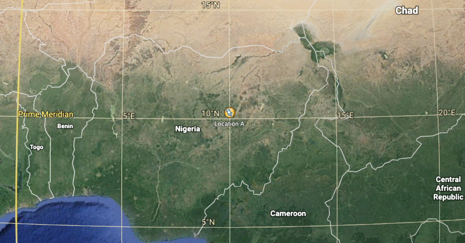
What is the latitude and longitude of these placemarks? is a straightforward resource that has students change some of the settings of Google Earth for Chrome, import a kml file of locations and then work out their latitude and longitude. The latitude and longitude of the placemarks can be entered into a Google Forms quiz for feedback.
If there are any other geographyalltheway.com resources that use Google Earth that you would like to see evolved to use Google Earth for Chrome - please let me know.